
What happened
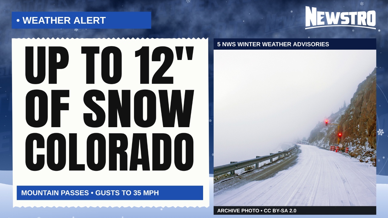
After an unseasonably warm, dry early fall, the National Weather Service issued winter weather advisories for Colorado’s high country, forecasting up to 12 inches of snow and wind gusts to 35 mph from Wednesday into Thursday morning, Autoblog reports.
NWS Denver’s advisory covered mountains above 9,000 feet from Jackson and Grand counties south through Summit and Park counties: 6 to 12 inches from noon Wednesday to 6 a.m. Thursday (MDT). NWS Pueblo and NWS Grand Junction issued four more advisories for the San Juan, Sawatch, Mosquito, Flat Tops and West Elk areas, with 4 to 10 inches forecast.
Forecasters warned of slushy, icy, snow-covered roads on mountain passes including Berthoud, Vail, Wolf Creek, Monarch and Red Mountain, and through the Eisenhower Tunnel on I-70. Mountain highs in the 40s this weekend are likely to melt much of the snow, an NWS meteorologist told Colorado Public Radio.
Times are Mountain Daylight Time. Photos are archival or illustrative and do not show this week’s storm.
